
Turn navigation screenshots into routes that stay useful
You screenshot directions so the route is still there on the road. omemo can infer the start, destination and travel mode from a few clues, then recompute how long the same route takes now.
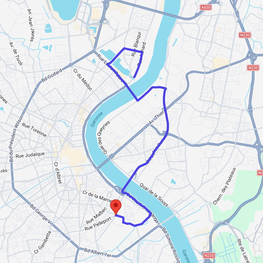
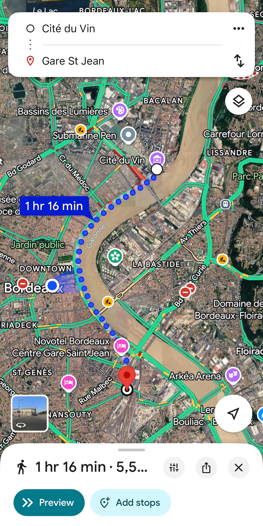
Directions to Gare St Jean
When saved
28 min · 5.8 km
Now
34 min
+6 min slower
- 01The route stays attached to the screenshot you saved, ready to find again on the road.
- 02omemo can infer the starting point and destination even when the screenshot offers only a few clues.
- 03Driving, public transportation, cycling and walking are kept together on one card.
- 04The duration you saved is compared with the route time now, so an old estimate does not mislead you.
- 05Open the matching route in Google Maps when you are ready to leave.

You saved the route because the road is unpredictable.
You screenshot directions before leaving because the route needs to remain within reach when reception drops, roaming fails or the map takes too long to load.
But a screenshot freezes one moment. The route is still there; the 28-minute estimate may not be.
Keep the route. Refresh the timing.
omemo recognises a navigation screenshot from Apple Maps, Google Maps, Waze or Citymapper and can infer the starting point, destination and selected travel mode from very few clues.
It keeps the saved duration and distance, then recomputes the route for driving, public transportation, cycling or walking when you have a connection.
The card puts “When saved” beside “Now”, so you can see whether the journey became faster or slower before you leave.
Choose a mode and Get directions opens the matching route in Google Maps. Your original screenshot remains the saved reference.
Navigation screenshots, answered.
Have hundreds of screenshots, not just navigation ones?
See how omemo works as an automatic screenshot organizer for iPhone.